Valley below Red Down
Introduction
The photograph on this page of Valley below Red Down by Derek Harper as part of the Geograph project.
The Geograph project started in 2005 with the aim of publishing, organising and preserving representative images for every square kilometre of Great Britain, Ireland and the Isle of Man.

There are currently over 7.5m images from over 14,400 individuals and you can help contribute to the project by visiting https://www.geograph.org.uk
Valley below Red Down
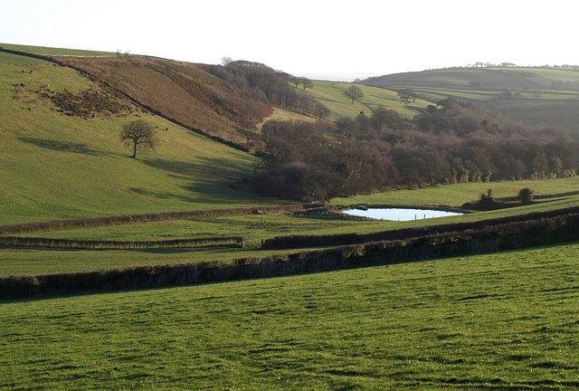
Image: © Derek Harper Taken: 4 Mar 2008
Looking further down the valley shown in Image The pond seems to be recent, as it does not appear on satellite images. Maps show a disused shaft in the patch of trees beyond the steep slope carpeted in bracken and gorse.
Images are licensed for reuse under creativecommons.org/licenses/by-sa/2.0
Image Location
Latitude
50.640567
Longitude
-4.456523