Field at Higher Tredundle
Introduction
The photograph on this page of Field at Higher Tredundle by Derek Harper as part of the Geograph project.
The Geograph project started in 2005 with the aim of publishing, organising and preserving representative images for every square kilometre of Great Britain, Ireland and the Isle of Man.

There are currently over 7.5m images from over 14,400 individuals and you can help contribute to the project by visiting https://www.geograph.org.uk
Field at Higher Tredundle
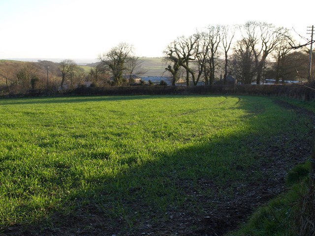
Image: © Derek Harper Taken: 4 Mar 2008
Taken from the same spot as Image, looking to the right. The farm buildings at Higher Tredundle are largely obscured by trees along the lane.
Images are licensed for reuse under creativecommons.org/licenses/by-sa/2.0
Image Location
Latitude
50.639043
Longitude
-4.460545