A38 towards Saltash and Plymouth
Introduction
The photograph on this page of A38 towards Saltash and Plymouth by David Dixon as part of the Geograph project.
The Geograph project started in 2005 with the aim of publishing, organising and preserving representative images for every square kilometre of Great Britain, Ireland and the Isle of Man.

There are currently over 7.5m images from over 14,400 individuals and you can help contribute to the project by visiting https://www.geograph.org.uk
A38 towards Saltash and Plymouth
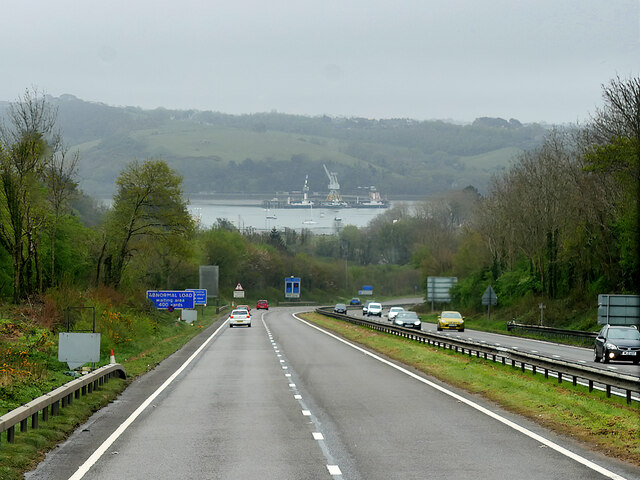
Image: © David Dixon Taken: 13 Apr 2022
The stretch of water ahead is the Hamoaze, the estuarine stretch of the tidal River Tamar, between its confluence with the River Lynher and Plymouth Sound.
Images are licensed for reuse under creativecommons.org/licenses/by-sa/2.0
Image Location
Latitude
50.418102
Longitude
-4.225661