Old Stirling Bridge
Introduction
The photograph on this page of Old Stirling Bridge by Richard Sutcliffe as part of the Geograph project.
The Geograph project started in 2005 with the aim of publishing, organising and preserving representative images for every square kilometre of Great Britain, Ireland and the Isle of Man.

There are currently over 7.5m images from over 14,400 individuals and you can help contribute to the project by visiting https://www.geograph.org.uk
Old Stirling Bridge
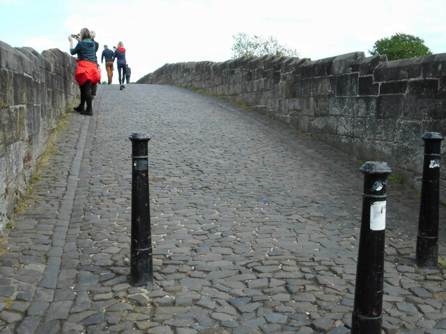
Image: © Richard Sutcliffe Taken: 18 May 2022
The late medieval bridge (believed to be 15th or early 16th century in date) is a Scheduled Monument http://portal.historicenvironment.scot/designation/SM90290. It has been used as a footbridge since the new Stirling Bridge Image was constructed in the 1830s. Some visitors are looking over towards where the wooden 13th century bridge used to be, which was the site of the Battle of Stirling Bridge in 1297.
Images are licensed for reuse under creativecommons.org/licenses/by-sa/2.0
Image Location
Latitude
56.128458
Longitude
-3.937454