Golvers Hill Road, Kingsteignton
Introduction
The photograph on this page of Golvers Hill Road, Kingsteignton by Robin Stott as part of the Geograph project.
The Geograph project started in 2005 with the aim of publishing, organising and preserving representative images for every square kilometre of Great Britain, Ireland and the Isle of Man.

There are currently over 7.5m images from over 14,400 individuals and you can help contribute to the project by visiting https://www.geograph.org.uk
Golvers Hill Road, Kingsteignton
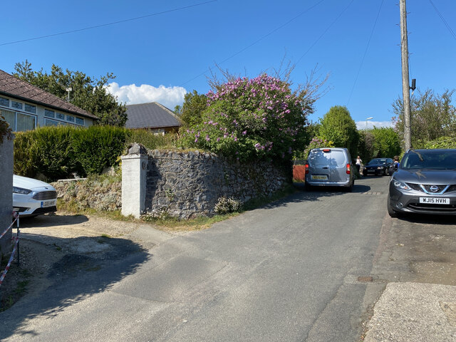
Image: © Robin Stott Taken: 25 Apr 2022
With its stone walls and bungalows Golvers Hill Road felt like an early phase of Kingsteignton's expansion. Walked during the afternoon school run, the manoeuvres of traffic in both directions were both hazardous and rather shocking.
Images are licensed for reuse under creativecommons.org/licenses/by-sa/2.0
Image Location
Latitude
50.548564
Longitude
-3.592356