Leat Close, Sawbridgeworth
Introduction
The photograph on this page of Leat Close, Sawbridgeworth by Richard Vince as part of the Geograph project.
The Geograph project started in 2005 with the aim of publishing, organising and preserving representative images for every square kilometre of Great Britain, Ireland and the Isle of Man.

There are currently over 7.5m images from over 14,400 individuals and you can help contribute to the project by visiting https://www.geograph.org.uk
Leat Close, Sawbridgeworth
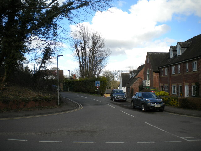
Image: © Richard Vince Taken: 12 Mar 2022
Off Station Road. Mill Lane bears off to the right behind the parked cars and leads down to the River Stort.
Images are licensed for reuse under creativecommons.org/licenses/by-sa/2.0
Image Location
Latitude
51.814601
Longitude
0.154344