Shoreline south of Ascog
Introduction
The photograph on this page of Shoreline south of Ascog by Gordon Hatton as part of the Geograph project.
The Geograph project started in 2005 with the aim of publishing, organising and preserving representative images for every square kilometre of Great Britain, Ireland and the Isle of Man.

There are currently over 7.5m images from over 14,400 individuals and you can help contribute to the project by visiting https://www.geograph.org.uk
Shoreline south of Ascog
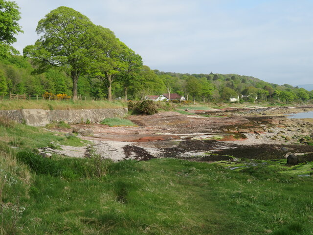
Image: © Gordon Hatton Taken: 8 May 2022
Outcrops of old red sandstone along the shore here denote that we are in the Lowlands, geologically speaking. The Highland Boundary Fault is a few miles further north and runs across the island from the middle of Rothesay to Scalpsie Bay on the west coast.
Images are licensed for reuse under creativecommons.org/licenses/by-sa/2.0
Image Location
Latitude
55.81655
Longitude
-5.023402