Bottesford Level Crossing
Introduction
The photograph on this page of Bottesford Level Crossing by Stephen McKay as part of the Geograph project.
The Geograph project started in 2005 with the aim of publishing, organising and preserving representative images for every square kilometre of Great Britain, Ireland and the Isle of Man.

There are currently over 7.5m images from over 14,400 individuals and you can help contribute to the project by visiting https://www.geograph.org.uk
Bottesford Level Crossing
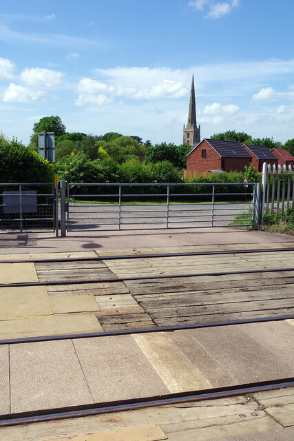
Image: © Stephen McKay Taken: 17 May 2022
Situated just to the west of Bottesford station, this crossing provides access to a bridleway leading up Beacon Hill. The railway between Grantham and Nottingham is busy and vehicles are required to contact the signaller by telephone before proceeding. In the background is the spire of St Mary's Church.
Images are licensed for reuse under creativecommons.org/licenses/by-sa/2.0
Image Location
Latitude
52.94517
Longitude
-0.796613