Sweyne Park Open Space, Rayleigh
Introduction
The photograph on this page of Sweyne Park Open Space, Rayleigh by Roger Jones as part of the Geograph project.
The Geograph project started in 2005 with the aim of publishing, organising and preserving representative images for every square kilometre of Great Britain, Ireland and the Isle of Man.

There are currently over 7.5m images from over 14,400 individuals and you can help contribute to the project by visiting https://www.geograph.org.uk
Sweyne Park Open Space, Rayleigh
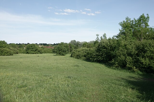
Image: © Roger Jones Taken: 19 May 2022
Sweyne Park Open Space is managed by Rochford District Council: https://www.rochford.gov.uk/leisure-and-tourism/woodlands-parks-and-open-spaces/sweyne-park-open-space They say: "The area currently known as Sweyne Park Open Space was originally war time agricultural land, after which it continued in agricultural tenancy until transferred from the Ministry of Agriculture to Rochford District Council in the late 1980's... The park is approximately 57 acres in size, with 2 kilometres of pathways and 4 Kilometres of hedging"
Images are licensed for reuse under creativecommons.org/licenses/by-sa/2.0
Image Location
Latitude
51.59661
Longitude
0.598856