Berinsfield
Introduction
The photograph on this page of Berinsfield by Andrew Smith as part of the Geograph project.
The Geograph project started in 2005 with the aim of publishing, organising and preserving representative images for every square kilometre of Great Britain, Ireland and the Isle of Man.

There are currently over 7.5m images from over 14,400 individuals and you can help contribute to the project by visiting https://www.geograph.org.uk
Berinsfield
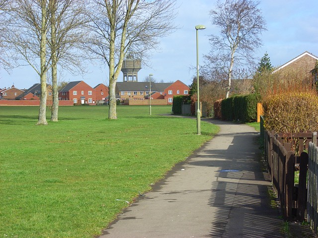
Image: © Andrew Smith Taken: 1 Mar 2008
The eastern side of the recreation ground which is surrounded by the modern houses of the village.
Images are licensed for reuse under creativecommons.org/licenses/by-sa/2.0
Image Location
Latitude
51.662558
Longitude
-1.171522