Barley Fields, Horton Heath
Introduction
The photograph on this page of Barley Fields, Horton Heath by Christine Johnstone as part of the Geograph project.
The Geograph project started in 2005 with the aim of publishing, organising and preserving representative images for every square kilometre of Great Britain, Ireland and the Isle of Man.

There are currently over 7.5m images from over 14,400 individuals and you can help contribute to the project by visiting https://www.geograph.org.uk
Barley Fields, Horton Heath
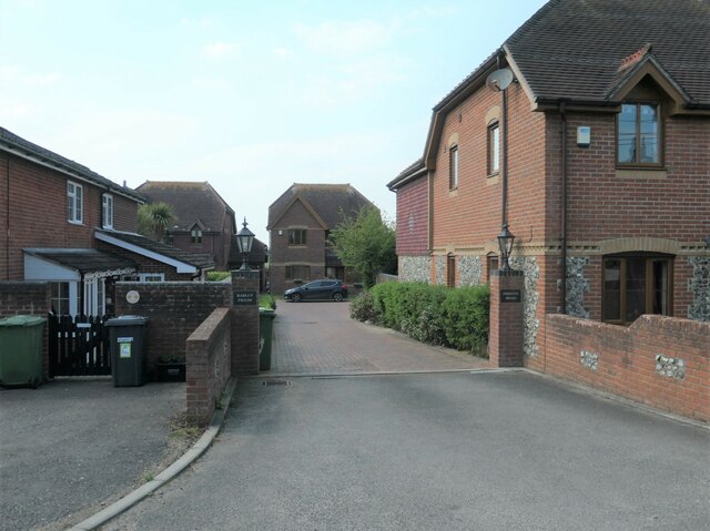
Image: © Christine Johnstone Taken: 23 Apr 2022
A development of named not numbered houses on a private road, off Burnetts Lane.
Images are licensed for reuse under creativecommons.org/licenses/by-sa/2.0
Image Location
Latitude
50.94764
Longitude
-1.300307