Woodland path to Blendworth Lane, Harefield
Introduction
The photograph on this page of Woodland path to Blendworth Lane, Harefield by Christine Johnstone as part of the Geograph project.
The Geograph project started in 2005 with the aim of publishing, organising and preserving representative images for every square kilometre of Great Britain, Ireland and the Isle of Man.

There are currently over 7.5m images from over 14,400 individuals and you can help contribute to the project by visiting https://www.geograph.org.uk
Woodland path to Blendworth Lane, Harefield
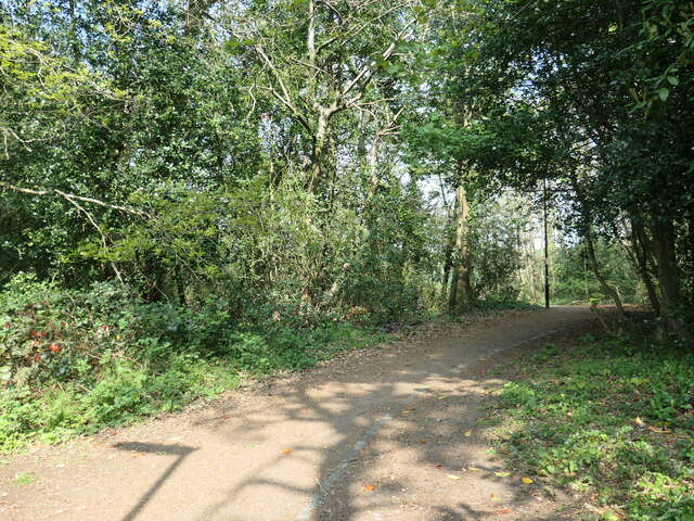
Image: © Christine Johnstone Taken: 23 Apr 2022
The anonymous woodland is public open space, criss-crossed with paths. It runs along a ridge, full of mature trees and surrounded by houses. It is a remnant of a much larger wood.
Images are licensed for reuse under creativecommons.org/licenses/by-sa/2.0
Image Location
Latitude
50.91576
Longitude
-1.338624