2008 : Dunge Farm at Dunge
Introduction
The photograph on this page of 2008 : Dunge Farm at Dunge by Maurice Pullin as part of the Geograph project.
The Geograph project started in 2005 with the aim of publishing, organising and preserving representative images for every square kilometre of Great Britain, Ireland and the Isle of Man.

There are currently over 7.5m images from over 14,400 individuals and you can help contribute to the project by visiting https://www.geograph.org.uk
2008 : Dunge Farm at Dunge
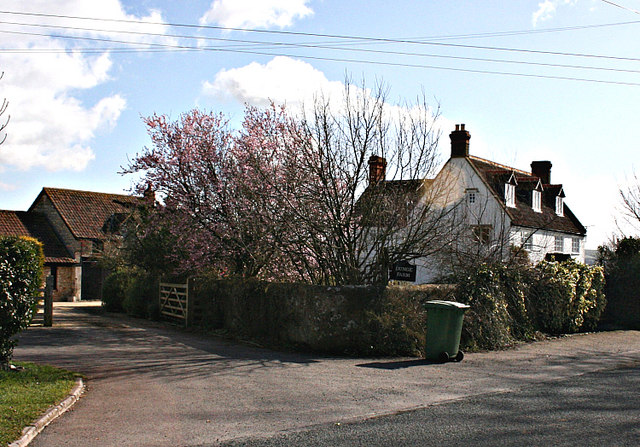
Image: © Maurice Pullin Taken: 3 Mar 2008
Not sure if this is still a "working" farm, at least one of the outbuildings has been converted into living accommodation.
Images are licensed for reuse under creativecommons.org/licenses/by-sa/2.0
Image Location
Latitude
51.289439
Longitude
-2.156115