2008 : The Cowbyre, Dunge
Introduction
The photograph on this page of 2008 : The Cowbyre, Dunge by Maurice Pullin as part of the Geograph project.
The Geograph project started in 2005 with the aim of publishing, organising and preserving representative images for every square kilometre of Great Britain, Ireland and the Isle of Man.

There are currently over 7.5m images from over 14,400 individuals and you can help contribute to the project by visiting https://www.geograph.org.uk
2008 : The Cowbyre, Dunge
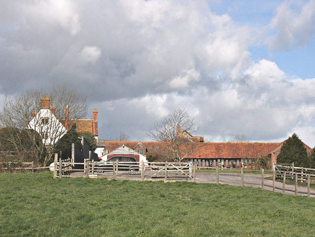
Image: © Maurice Pullin Taken: 3 Mar 2008
The name plate at the gate suggests this good looking property is a converted cowshed.
Images are licensed for reuse under creativecommons.org/licenses/by-sa/2.0
Image Location
Latitude
51.288991
Longitude
-2.155253