Lincombe Crescent
Introduction
The photograph on this page of Lincombe Crescent by Derek Harper as part of the Geograph project.
The Geograph project started in 2005 with the aim of publishing, organising and preserving representative images for every square kilometre of Great Britain, Ireland and the Isle of Man.

There are currently over 7.5m images from over 14,400 individuals and you can help contribute to the project by visiting https://www.geograph.org.uk
Lincombe Crescent
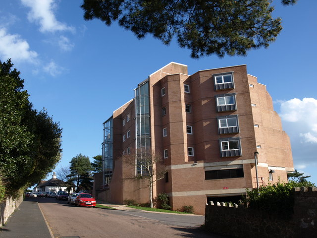
Image: © Derek Harper Taken: 7 Mar 2008
This block of 50 flats was built on Higher Lincombe Road in 1973, with a superb view across Tor Bay. Cherry and Pevsner are somewhat dismissive: "crudely detailed, especially at the back", which is unfortunately the view the passer-by gets. The block curves in a crescent, although that cannot be seen from this angle.
Images are licensed for reuse under creativecommons.org/licenses/by-sa/2.0
Image Location
Latitude
50.461376
Longitude
-3.507567