Bumps behind Burnbush School
Introduction
The photograph on this page of Bumps behind Burnbush School by Neil Owen as part of the Geograph project.
The Geograph project started in 2005 with the aim of publishing, organising and preserving representative images for every square kilometre of Great Britain, Ireland and the Isle of Man.

There are currently over 7.5m images from over 14,400 individuals and you can help contribute to the project by visiting https://www.geograph.org.uk
Bumps behind Burnbush School
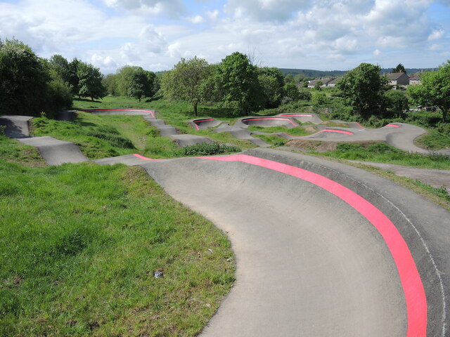
Image: © Neil Owen Taken: 12 May 2022
A new cycle track has opened in the open space off Whittock Road, not far from the school (which is now known as Woodlands Academy).
Images are licensed for reuse under creativecommons.org/licenses/by-sa/2.0
Image Location
Latitude
51.41504
Longitude
-2.54896