Corner gap site
Introduction
The photograph on this page of Corner gap site by Richard Sutcliffe as part of the Geograph project.
The Geograph project started in 2005 with the aim of publishing, organising and preserving representative images for every square kilometre of Great Britain, Ireland and the Isle of Man.

There are currently over 7.5m images from over 14,400 individuals and you can help contribute to the project by visiting https://www.geograph.org.uk
Corner gap site
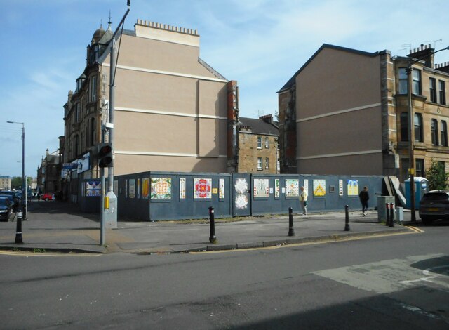
Image: © Richard Sutcliffe Taken: 14 May 2022
The site previously housed a tenement property with ground floor shop. There was a fire there in November 2019 and the building partly collapsed and could not be saved following an assessment by the Council’s Building Standards and Public Safety division and was ultimately demolished. Together with neighbouring propertie, it had been Category B listed http://portal.historicenvironment.scot/designation/LB33368.
Images are licensed for reuse under creativecommons.org/licenses/by-sa/2.0
Image Location
Latitude
55.84189
Longitude
-4.272644