Across the Square in Tomintoul
Introduction
The photograph on this page of Across the Square in Tomintoul by Gordon Hatton as part of the Geograph project.
The Geograph project started in 2005 with the aim of publishing, organising and preserving representative images for every square kilometre of Great Britain, Ireland and the Isle of Man.

There are currently over 7.5m images from over 14,400 individuals and you can help contribute to the project by visiting https://www.geograph.org.uk
Across the Square in Tomintoul
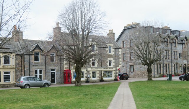
Image: © Gordon Hatton Taken: 26 Apr 2022
A planned 18th century village laid out by the Duke of Gordon. One would suspect that the inhabitants must be a hardy bunch as it is a rather draughty place 345m above sea level in an open area.
Images are licensed for reuse under creativecommons.org/licenses/by-sa/2.0
Image Location
Latitude
57.251576
Longitude
-3.379906