Nuneham Courtenay
Introduction
The photograph on this page of Nuneham Courtenay by Andrew Smith as part of the Geograph project.
The Geograph project started in 2005 with the aim of publishing, organising and preserving representative images for every square kilometre of Great Britain, Ireland and the Isle of Man.

There are currently over 7.5m images from over 14,400 individuals and you can help contribute to the project by visiting https://www.geograph.org.uk
Nuneham Courtenay
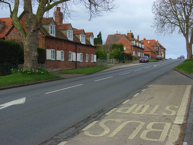
Image: © Andrew Smith Taken: 1 Mar 2008
This is the northern end of the village which is lined up along the A4074. At the top of the hill is the Harcourt Arms, now closed.
Images are licensed for reuse under creativecommons.org/licenses/by-sa/2.0
Image Location


Leaflet Map data © OpenStreetMap
Latitude
51.68885
Longitude
-1.202869