Two listed buildings
Introduction
The photograph on this page of Two listed buildings by Richard Sutcliffe as part of the Geograph project.
The Geograph project started in 2005 with the aim of publishing, organising and preserving representative images for every square kilometre of Great Britain, Ireland and the Isle of Man.

There are currently over 7.5m images from over 14,400 individuals and you can help contribute to the project by visiting https://www.geograph.org.uk
Two listed buildings
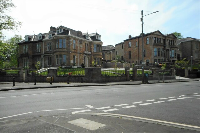
Image: © Richard Sutcliffe Taken: 14 May 2022
The building on the left on the corner of Shields Road and Nithsdale Road was built in the late 19th century and is Category C listed http://portal.historicenvironment.scot/designation/LB33434. The building on the right dates from about 1878 and was a private residence before being converted to a synagogue in 1928. It is now Madrasa Ta'Aleem-ul-Islam (Institute of Islamic Studies). It is Category B listed http://portal.historicenvironment.scot/designation/LB33438.
Images are licensed for reuse under creativecommons.org/licenses/by-sa/2.0
Image Location
Latitude
55.839991
Longitude
-4.278123