Unclassified road towards Llanthony, Monmouthshire
Introduction
The photograph on this page of Unclassified road towards Llanthony, Monmouthshire by Jaggery as part of the Geograph project.
The Geograph project started in 2005 with the aim of publishing, organising and preserving representative images for every square kilometre of Great Britain, Ireland and the Isle of Man.

There are currently over 7.5m images from over 14,400 individuals and you can help contribute to the project by visiting https://www.geograph.org.uk
Unclassified road towards Llanthony, Monmouthshire
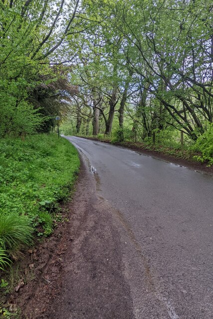
Image: © Jaggery Taken: 15 May 2022
Looking to the NW along the road from Llanvihangel Crucorney to Hay-on-Wye. A Llanthony Wood nameboard https://www.geograph.org.uk/photo/7174234 is behind the camera.
Images are licensed for reuse under creativecommons.org/licenses/by-sa/2.0
Image Location
Latitude
51.934129
Longitude
-3.028572