Collierley Primary School, Dipton
Introduction
The photograph on this page of Collierley Primary School, Dipton by Robert Graham as part of the Geograph project.
The Geograph project started in 2005 with the aim of publishing, organising and preserving representative images for every square kilometre of Great Britain, Ireland and the Isle of Man.

There are currently over 7.5m images from over 14,400 individuals and you can help contribute to the project by visiting https://www.geograph.org.uk
Collierley Primary School, Dipton
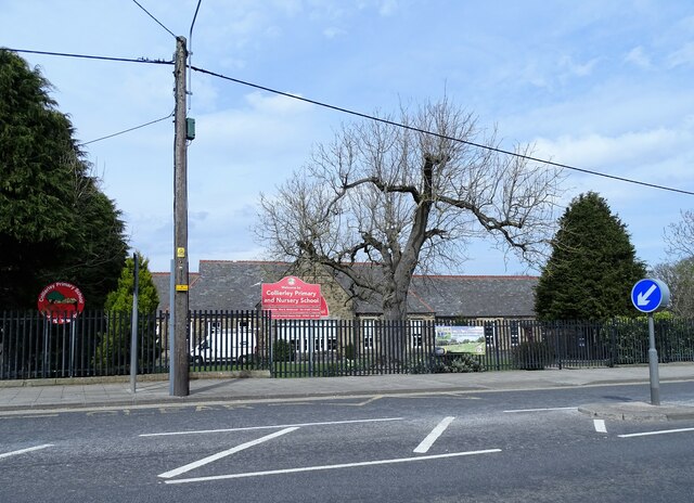
Image: © Robert Graham Taken: 11 Apr 2022
The village school first opened in 1878 as Colliery Board School. In those days, Dipton referred to the northern end of the village only, and the southern part was called Collierley.
Images are licensed for reuse under creativecommons.org/licenses/by-sa/2.0
Image Location
Latitude
54.877109
Longitude
-1.761836