Loughborough Lock
Introduction
The photograph on this page of Loughborough Lock by Stephen McKay as part of the Geograph project.
The Geograph project started in 2005 with the aim of publishing, organising and preserving representative images for every square kilometre of Great Britain, Ireland and the Isle of Man.

There are currently over 7.5m images from over 14,400 individuals and you can help contribute to the project by visiting https://www.geograph.org.uk
Loughborough Lock
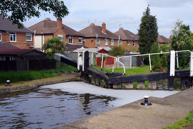
Image: © Stephen McKay Taken: 13 May 2022
The Loughborough Navigation, part of the Grand Union Canal system heads north away from Loughborough itself towards the River Soar through Loughborough Lock. The lock has a fall of 6ft 9in.
Images are licensed for reuse under creativecommons.org/licenses/by-sa/2.0
Image Location
Latitude
52.780394
Longitude
-1.216436