Wester Herricks
Introduction
The photograph on this page of Wester Herricks by Anne Burgess as part of the Geograph project.
The Geograph project started in 2005 with the aim of publishing, organising and preserving representative images for every square kilometre of Great Britain, Ireland and the Isle of Man.

There are currently over 7.5m images from over 14,400 individuals and you can help contribute to the project by visiting https://www.geograph.org.uk
Wester Herricks
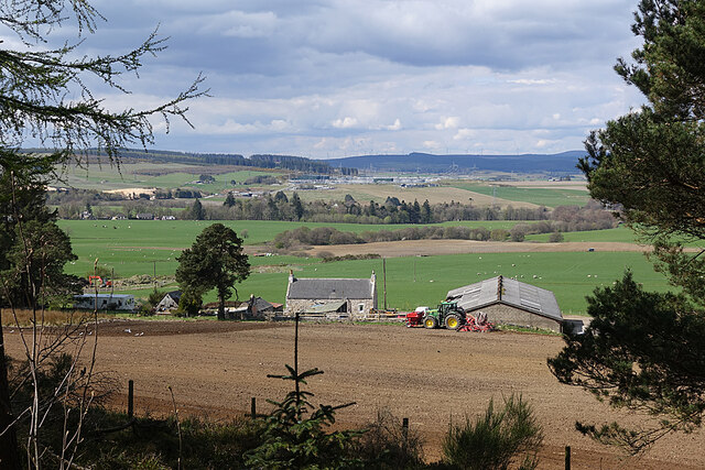
Image: © Anne Burgess Taken: 28 Apr 2022
A farm with a view, on the slope of The Balloch. These day the view takes in the pale scar of Blackhillock Quarry, on the left; the vast Blackhillock electricity transformer in the middle distance, with its attendant power lines; and the wind turbines in the Drummuir wind farm on the skyline.
Images are licensed for reuse under creativecommons.org/licenses/by-sa/2.0
Image Location
Latitude
57.529242
Longitude
-2.906243