Public footpath east of Lower Sheering (2)
Introduction
The photograph on this page of Public footpath east of Lower Sheering (2) by Richard Vince as part of the Geograph project.
The Geograph project started in 2005 with the aim of publishing, organising and preserving representative images for every square kilometre of Great Britain, Ireland and the Isle of Man.

There are currently over 7.5m images from over 14,400 individuals and you can help contribute to the project by visiting https://www.geograph.org.uk
Public footpath east of Lower Sheering (2)
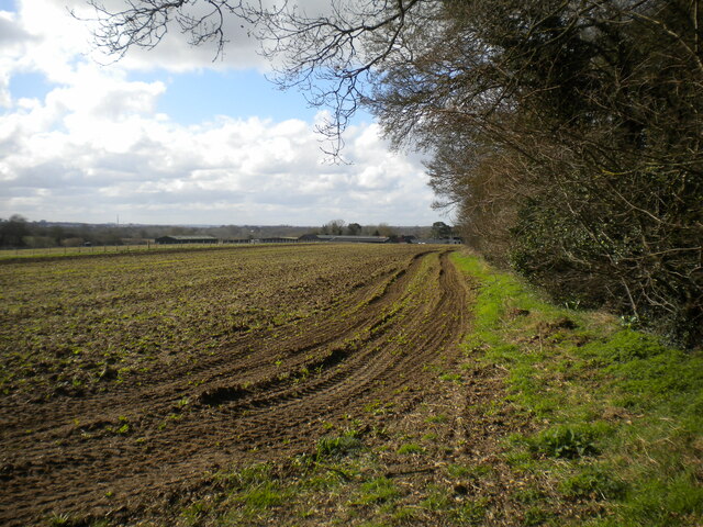
Image: © Richard Vince Taken: 12 Mar 2022
Bypassing a short, tricky stretch of Back Lane, which is the other side of the copse on the right. The buildings of Newhouse Farm can be glimpsed ahead, further down into the valley.
Images are licensed for reuse under creativecommons.org/licenses/by-sa/2.0
Image Location
Latitude
51.804362
Longitude
0.168361