Medieval Pale, Ashdown Forest
Introduction
The photograph on this page of Medieval Pale, Ashdown Forest by Simon Carey as part of the Geograph project.
The Geograph project started in 2005 with the aim of publishing, organising and preserving representative images for every square kilometre of Great Britain, Ireland and the Isle of Man.

There are currently over 7.5m images from over 14,400 individuals and you can help contribute to the project by visiting https://www.geograph.org.uk
Medieval Pale, Ashdown Forest
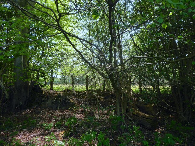
Image: © Simon Carey Taken: 8 May 2022
This section can be found next to a layby on the A26. There is some conjecture that the area to the south was also once part of the forest as there are records of a gift to neighbouring Newnham Park. This section of the pale runs next to the modern road from the Crow and Gate Inn to the junction with New Road.
Images are licensed for reuse under creativecommons.org/licenses/by-sa/2.0
Image Location
Latitude
51.038944
Longitude
0.120589