Marylebone: the thin end of The Mumtaz
Introduction
The photograph on this page of Marylebone: the thin end of The Mumtaz by John Sutton as part of the Geograph project.
The Geograph project started in 2005 with the aim of publishing, organising and preserving representative images for every square kilometre of Great Britain, Ireland and the Isle of Man.

There are currently over 7.5m images from over 14,400 individuals and you can help contribute to the project by visiting https://www.geograph.org.uk
Marylebone: the thin end of The Mumtaz
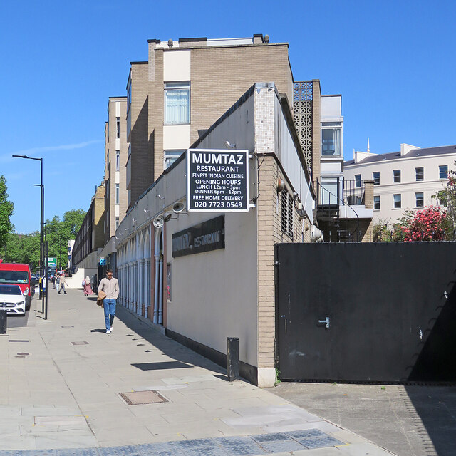
Image: © John Sutton Taken: 14 May 2022
A restaurant on Park Road, near Baker Street and Regent's Park.
Images are licensed for reuse under creativecommons.org/licenses/by-sa/2.0
Image Location


Leaflet Map data © OpenStreetMap
Latitude
51.524901
Longitude
-0.159788