Pike Field
Introduction
The photograph on this page of Pike Field by Simon Carey as part of the Geograph project.
The Geograph project started in 2005 with the aim of publishing, organising and preserving representative images for every square kilometre of Great Britain, Ireland and the Isle of Man.

There are currently over 7.5m images from over 14,400 individuals and you can help contribute to the project by visiting https://www.geograph.org.uk
Pike Field
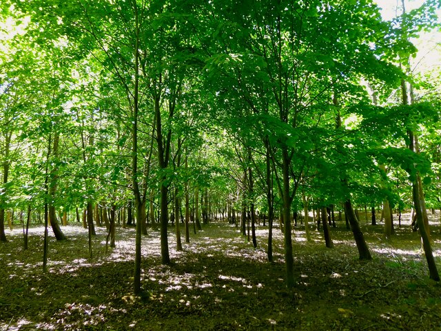
Image: © Simon Carey Taken: 8 May 2022
The name of the field according to Buxted's 1840 tithe map that is now a plantation. It is bounded to the west by the A26 and north by the drive to Stroods House.
Images are licensed for reuse under creativecommons.org/licenses/by-sa/2.0
Image Location


Leaflet Map data © OpenStreetMap
Latitude
51.031746
Longitude
0.115839