Nethermoor Road approaching the Royal Oak roundabout
Introduction
The photograph on this page of Nethermoor Road approaching the Royal Oak roundabout by Bill Boaden as part of the Geograph project.
The Geograph project started in 2005 with the aim of publishing, organising and preserving representative images for every square kilometre of Great Britain, Ireland and the Isle of Man.

There are currently over 7.5m images from over 14,400 individuals and you can help contribute to the project by visiting https://www.geograph.org.uk
Nethermoor Road approaching the Royal Oak roundabout
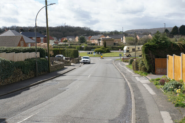
Image: © Bill Boaden Taken: 7 Apr 2022
The roundabout is still referred to as the Royal Oak, though the pub of that name has changed it to the Tupton Tap. New housing has sprung up on the other side of the roundabout.
Images are licensed for reuse under creativecommons.org/licenses/by-sa/2.0
Image Location
Latitude
53.183464
Longitude
-1.417712