Westcott Farm
Introduction
The photograph on this page of Westcott Farm by Derek Harper as part of the Geograph project.
The Geograph project started in 2005 with the aim of publishing, organising and preserving representative images for every square kilometre of Great Britain, Ireland and the Isle of Man.

There are currently over 7.5m images from over 14,400 individuals and you can help contribute to the project by visiting https://www.geograph.org.uk
Westcott Farm
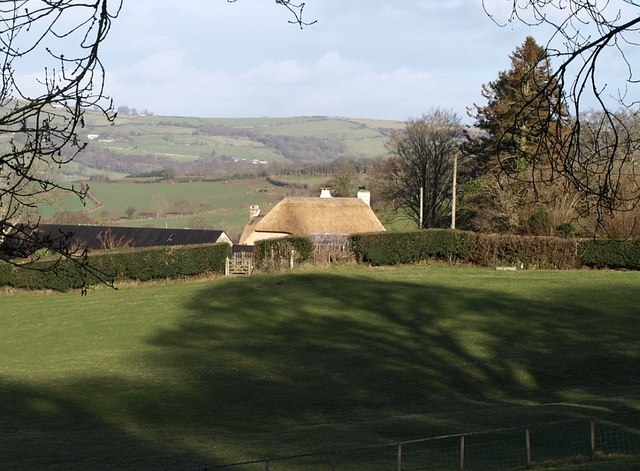
Image: © Derek Harper Taken: 1 Mar 2008
The farm buildings as a whole straddle the gridline but the thatched farmhouse is almost entirely in SX7087. Seen from the lane from Chagford. In the distance are the hills around Uppacott.
Images are licensed for reuse under creativecommons.org/licenses/by-sa/2.0
Image Location
Latitude
50.673905
Longitude
-3.827148