Cut Benchmark on Almshouses, Bridgegate
Introduction
The photograph on this page of Cut Benchmark on Almshouses, Bridgegate by Brian Westlake as part of the Geograph project.
The Geograph project started in 2005 with the aim of publishing, organising and preserving representative images for every square kilometre of Great Britain, Ireland and the Isle of Man.

There are currently over 7.5m images from over 14,400 individuals and you can help contribute to the project by visiting https://www.geograph.org.uk
Cut Benchmark on Almshouses, Bridgegate
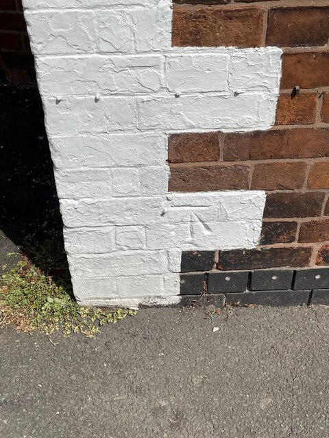
Image: © Brian Westlake Taken: 5 May 2022
Cut bench mark on the left angle of the row. See https://www.geograph.org.uk/photo/7171615 for a wider view and https://www.bench-marks.org.uk/bm73740 for details of the mark.
Images are licensed for reuse under creativecommons.org/licenses/by-sa/2.0
Image Location
Latitude
53.324606
Longitude
-0.947516