Old A594 road, Portinscale
Introduction
The photograph on this page of Old A594 road, Portinscale by Adrian Taylor as part of the Geograph project.
The Geograph project started in 2005 with the aim of publishing, organising and preserving representative images for every square kilometre of Great Britain, Ireland and the Isle of Man.

There are currently over 7.5m images from over 14,400 individuals and you can help contribute to the project by visiting https://www.geograph.org.uk
Old A594 road, Portinscale
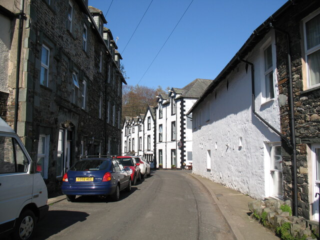
Image: © Adrian Taylor Taken: 18 Apr 2015
This narrow street in Portinscale was formerly the A594 road linking west Cumberland with Penrith and the A6. Portinscale was bypassed and the A594 renumbered to become part of the A66 between Penrith and Cockermouth. The road is the route of The Cumbria Way long distance footpath (next photograph Image). The black and white building in the background is the Derwentwater Hotel; there is an Ordnance Survey cut benchmark on the near corner (photograph Image).
Images are licensed for reuse under creativecommons.org/licenses/by-sa/2.0
Image Location
Latitude
54.601929
Longitude
-3.158607