Shropshire viewed from Middletown Hill
Introduction
The photograph on this page of Shropshire viewed from Middletown Hill by Mat Fascione as part of the Geograph project.
The Geograph project started in 2005 with the aim of publishing, organising and preserving representative images for every square kilometre of Great Britain, Ireland and the Isle of Man.

There are currently over 7.5m images from over 14,400 individuals and you can help contribute to the project by visiting https://www.geograph.org.uk
Shropshire viewed from Middletown Hill
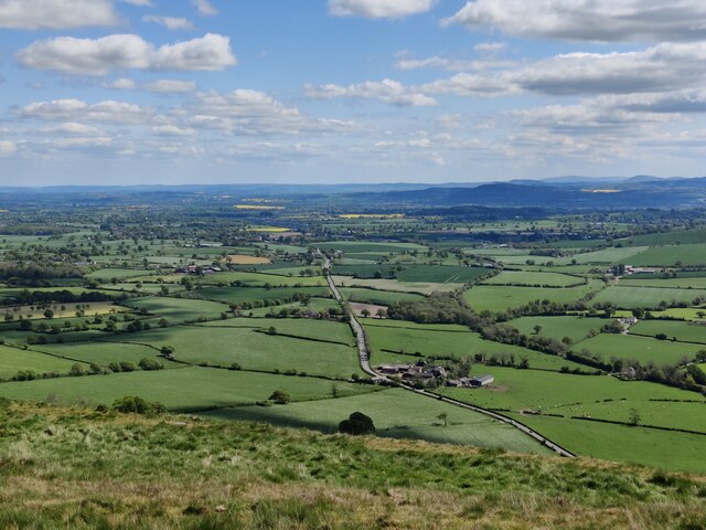
Image: © Mat Fascione Taken: 7 May 2022
Middletown Hill is part of the Breidden Hills, which are made up of Breidden Hill (365m 1,197ft), Moel y Golfa (meaning Bare or Bald Hill), the highest at (403m 1,322ft), Middletown Hill (367m 1,204ft), Kempsters Hill and Bausely Hill. They are on the border of England and Wales (Shropshire/Powys), about ten miles west of Shrewsbury. Breidden Hill is an extinct volcano, and has Rodney's Pillar on its summit. Middletown Hill has an ancient Iron Age Hill fort on its summit.
Images are licensed for reuse under creativecommons.org/licenses/by-sa/2.0
Image Location
Latitude
52.707264
Longitude
-3.013952