18 - 19 Fosterville Crescent
Introduction
The photograph on this page of 18 - 19 Fosterville Crescent by Ian Capper as part of the Geograph project.
The Geograph project started in 2005 with the aim of publishing, organising and preserving representative images for every square kilometre of Great Britain, Ireland and the Isle of Man.

There are currently over 7.5m images from over 14,400 individuals and you can help contribute to the project by visiting https://www.geograph.org.uk
18 - 19 Fosterville Crescent
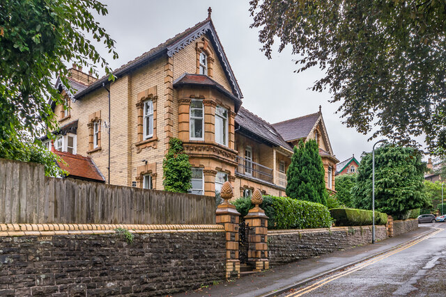
Image: © Ian Capper Taken: 9 Sep 2021
Pair of large semi-detached houses dating from the c.1890s. Grade II listed - see https://cadwpublic-api.azurewebsites.net/reports/listedbuilding/FullReport?lang=&id=86882 and https://cadwpublic-api.azurewebsites.net/reports/listedbuilding/FullReport?lang=&id=86885 respectively.
Images are licensed for reuse under creativecommons.org/licenses/by-sa/2.0
Image Location
Latitude
51.819279
Longitude
-3.013651