Tithe Barn
Introduction
The photograph on this page of Tithe Barn by Ian Capper as part of the Geograph project.
The Geograph project started in 2005 with the aim of publishing, organising and preserving representative images for every square kilometre of Great Britain, Ireland and the Isle of Man.

There are currently over 7.5m images from over 14,400 individuals and you can help contribute to the project by visiting https://www.geograph.org.uk
Tithe Barn
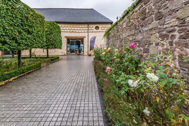
Image: © Ian Capper Taken: 9 Sep 2021
Barn near St Mary's Church, dating from the 12th Century according to its website or from the c.16th Century according to its listing particulars. Following the dissolution of the monasteries in the 16th Century, its website says that it became a coach house, then over time a theatre, a shop, a carpet warehouse, an auction house and a disco. In 2003-4 it underwent a major refurbishment and restoration and is now a community education and art space. Grade II* listed - see https://cadwpublic-api.azurewebsites.net/reports/listedbuilding/FullReport?lang=&id=2375.
Images are licensed for reuse under creativecommons.org/licenses/by-sa/2.0
Image Location
Latitude
51.821343
Longitude
-3.016178