Wayside Cross, South Cerney
Introduction
The photograph on this page of Wayside Cross, South Cerney by Mr Red as part of the Geograph project.
The Geograph project started in 2005 with the aim of publishing, organising and preserving representative images for every square kilometre of Great Britain, Ireland and the Isle of Man.

There are currently over 7.5m images from over 14,400 individuals and you can help contribute to the project by visiting https://www.geograph.org.uk
Wayside Cross, South Cerney
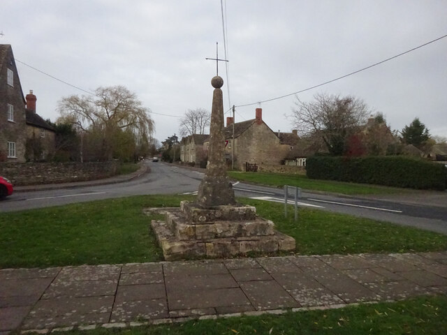
Image: © Mr Red Taken: 28 Nov 2021
South Cerney Cross, old shaft, base & steps in a new cross. Benchmark at the base representing 90.2 m ASL. Grade II listed monument see https://historicengland.org.uk/listing/the-list/list-entry/1154162 Milestone Society National ID: GLCO_SOU01
Images are licensed for reuse under creativecommons.org/licenses/by-sa/2.0
Image Location
Latitude
51.671986
Longitude
-1.930425