Douglas park Golf Club from the air
Introduction
The photograph on this page of Douglas park Golf Club from the air by Thomas Nugent as part of the Geograph project.
The Geograph project started in 2005 with the aim of publishing, organising and preserving representative images for every square kilometre of Great Britain, Ireland and the Isle of Man.

There are currently over 7.5m images from over 14,400 individuals and you can help contribute to the project by visiting https://www.geograph.org.uk
Douglas park Golf Club from the air
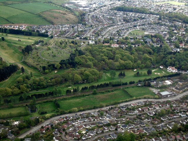
Image: © Thomas Nugent Taken: 5 May 2022
The A81 Milngavie Road and the Milngavie branch railway line are in the foreground. New Kilpatrick Cemetery stands on the hill.
Images are licensed for reuse under creativecommons.org/licenses/by-sa/2.0
Image Location
Latitude
55.92511
Longitude
-4.316252