Junction of Cobham Road and Emerton Road
Introduction
The photograph on this page of Junction of Cobham Road and Emerton Road by Hugh Craddock as part of the Geograph project.
The Geograph project started in 2005 with the aim of publishing, organising and preserving representative images for every square kilometre of Great Britain, Ireland and the Isle of Man.

There are currently over 7.5m images from over 14,400 individuals and you can help contribute to the project by visiting https://www.geograph.org.uk
Junction of Cobham Road and Emerton Road
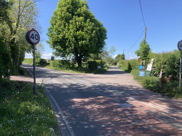
Image: © Hugh Craddock Taken: 8 May 2022
Junction of Cobham Road with Emerton Road, the latter a private road and public footpath Leatherhead 13 leading to Barrack Farm. This part of Fetcham is known as Monks Green, presumably a reference to the formerly grassy waste on the south-west side of the road, now occupied by parking, the Reading Room and a dwelling.
Images are licensed for reuse under creativecommons.org/licenses/by-sa/2.0
Image Location
Latitude
51.299185
Longitude
-0.359326