Path down to the River Rother
Introduction
The photograph on this page of Path down to the River Rother by Bill Boaden as part of the Geograph project.
The Geograph project started in 2005 with the aim of publishing, organising and preserving representative images for every square kilometre of Great Britain, Ireland and the Isle of Man.

There are currently over 7.5m images from over 14,400 individuals and you can help contribute to the project by visiting https://www.geograph.org.uk
Path down to the River Rother
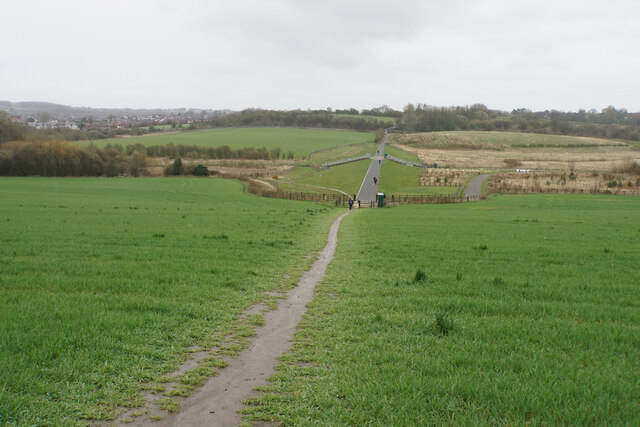
Image: © Bill Boaden Taken: 6 Apr 2022
Some flood alleviation works have been undertaken in the valley.
Images are licensed for reuse under creativecommons.org/licenses/by-sa/2.0
Image Location
Latitude
53.210911
Longitude
-1.424078