Barstaple House
Introduction
The photograph on this page of Barstaple House by Neil Owen as part of the Geograph project.
The Geograph project started in 2005 with the aim of publishing, organising and preserving representative images for every square kilometre of Great Britain, Ireland and the Isle of Man.

There are currently over 7.5m images from over 14,400 individuals and you can help contribute to the project by visiting https://www.geograph.org.uk
Barstaple House
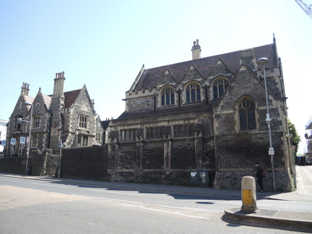
Image: © Neil Owen Taken: 26 Apr 2022
The buildings are based on the original site of John Barstaple's houses. Barstaple was a merchant, sheriff, mayor and benefactor of old Bristol from about 1400. He was awarded a royal charter 'to grant land in the suburb of Bristol to the mayor and commonalty of Bristol to build a hospital for poor persons'. The present buildings are a mixture, being extensively rebuilt between 1858 and 1883. In 2010 the houses were sold off and became private residences; the funds were used to build new charity houses elsewhere.
Images are licensed for reuse under creativecommons.org/licenses/by-sa/2.0
Image Location
Latitude
51.45625
Longitude
-2.580398