Across the Cole Valley
Introduction
The photograph on this page of Across the Cole Valley by planetearthisblue as part of the Geograph project.
The Geograph project started in 2005 with the aim of publishing, organising and preserving representative images for every square kilometre of Great Britain, Ireland and the Isle of Man.

There are currently over 7.5m images from over 14,400 individuals and you can help contribute to the project by visiting https://www.geograph.org.uk
Across the Cole Valley
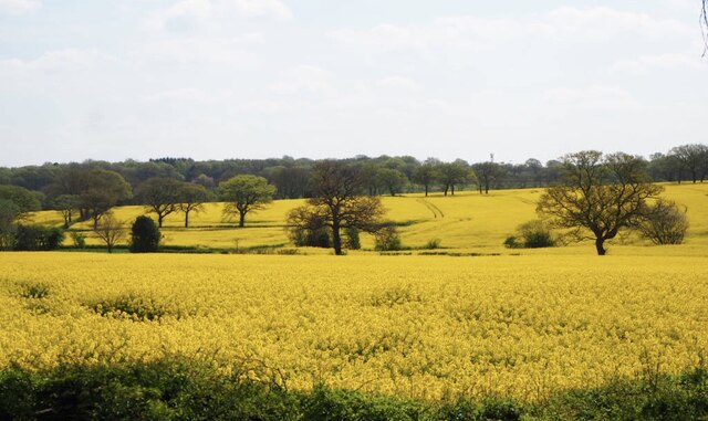
Image: © planetearthisblue Taken: 21 Apr 2022
The River Cole marks the border between Warwickshire and Worcestershire
Images are licensed for reuse under creativecommons.org/licenses/by-sa/2.0
Image Location
Latitude
52.361573
Longitude
-1.88703