2008 : Oilseed Rape near Bullenhill
Introduction
The photograph on this page of 2008 : Oilseed Rape near Bullenhill by Maurice Pullin as part of the Geograph project.
The Geograph project started in 2005 with the aim of publishing, organising and preserving representative images for every square kilometre of Great Britain, Ireland and the Isle of Man.

There are currently over 7.5m images from over 14,400 individuals and you can help contribute to the project by visiting https://www.geograph.org.uk
2008 : Oilseed Rape near Bullenhill
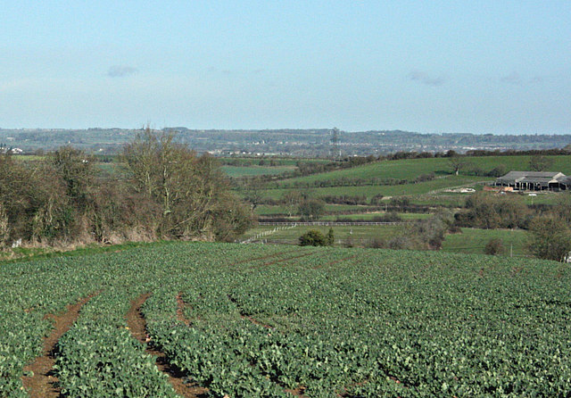
Image: © Maurice Pullin Taken: 3 Mar 2008
Oilseed Rape is a brassica and in its earlier stages can be mistaken for cabbage. The farm on the right edge is at Hag Hill.
Images are licensed for reuse under creativecommons.org/licenses/by-sa/2.0
Image Location
Latitude
51.32011
Longitude
-2.149188