Brook east of mapped Douster Brook
Introduction
The photograph on this page of Brook east of mapped Douster Brook by Robin Webster as part of the Geograph project.
The Geograph project started in 2005 with the aim of publishing, organising and preserving representative images for every square kilometre of Great Britain, Ireland and the Isle of Man.

There are currently over 7.5m images from over 14,400 individuals and you can help contribute to the project by visiting https://www.geograph.org.uk
Brook east of mapped Douster Brook
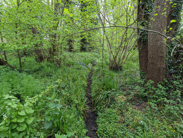
Image: © Robin Webster Taken: 2 May 2022
The brook runs in parallel with the named brook, and looks more natural. This whole wooded area is low-lying, this may just be a drain for it now. It is only damp in this view.
Images are licensed for reuse under creativecommons.org/licenses/by-sa/2.0
Image Location
Latitude
51.106106
Longitude
-0.22361