Wanden Lane
Introduction
The photograph on this page of Wanden Lane by Marathon as part of the Geograph project.
The Geograph project started in 2005 with the aim of publishing, organising and preserving representative images for every square kilometre of Great Britain, Ireland and the Isle of Man.

There are currently over 7.5m images from over 14,400 individuals and you can help contribute to the project by visiting https://www.geograph.org.uk
Wanden Lane
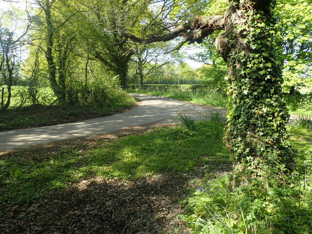
Image: © Marathon Taken: 30 Apr 2022
There are a number of 90 degree bends in Wanden Road. Wanden Lane is a no through road and leads to Wanden Farm and Little Wanden. This view is from the start of a footpath at Heronsdale.
Images are licensed for reuse under creativecommons.org/licenses/by-sa/2.0
Image Location
Latitude
51.179997
Longitude
0.703133