Colliery Way, Gedling
Introduction
The photograph on this page of Colliery Way, Gedling by Alan Murray-Rust as part of the Geograph project.
The Geograph project started in 2005 with the aim of publishing, organising and preserving representative images for every square kilometre of Great Britain, Ireland and the Isle of Man.

There are currently over 7.5m images from over 14,400 individuals and you can help contribute to the project by visiting https://www.geograph.org.uk
Colliery Way, Gedling
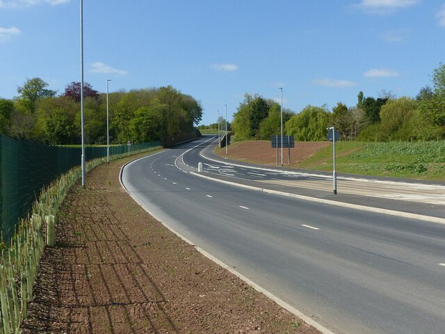
Image: © Alan Murray-Rust Taken: 29 Apr 2022
The new Gedling Access Road has acquired a name. This is the southern end approaching Nottingham Road. Compare with https://www.geograph.org.uk/photo/6860410
Images are licensed for reuse under creativecommons.org/licenses/by-sa/2.0
Image Location
Latitude
52.977589
Longitude
-1.062453