All Saints' (old) church, Nuneham Courtenay
Introduction
The photograph on this page of All Saints' (old) church, Nuneham Courtenay by Andrew Smith as part of the Geograph project.
The Geograph project started in 2005 with the aim of publishing, organising and preserving representative images for every square kilometre of Great Britain, Ireland and the Isle of Man.

There are currently over 7.5m images from over 14,400 individuals and you can help contribute to the project by visiting https://www.geograph.org.uk
All Saints' (old) church, Nuneham Courtenay
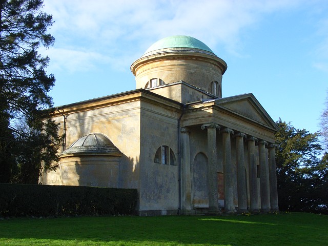
Image: © Andrew Smith Taken: 1 Mar 2008
Built in 1764 as part of the first Lord Harcourt's estate. It complements its parkland setting. However, the village was built about a mile away and in the late 19th century a new church was built there. This is now redundant and cared for by the Churches Conservation Trust.
Images are licensed for reuse under creativecommons.org/licenses/by-sa/2.0
Image Location
Latitude
51.679967
Longitude
-1.218935