Clyde Gateway development land
Introduction
The photograph on this page of Clyde Gateway development land by Thomas Nugent as part of the Geograph project.
The Geograph project started in 2005 with the aim of publishing, organising and preserving representative images for every square kilometre of Great Britain, Ireland and the Isle of Man.

There are currently over 7.5m images from over 14,400 individuals and you can help contribute to the project by visiting https://www.geograph.org.uk
Clyde Gateway development land
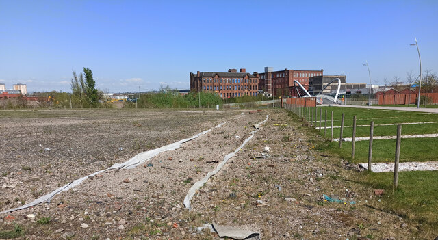
Image: © Thomas Nugent Taken: 22 Apr 2022
Looking towards the former Strathclyde School and Shawfield Smartbridge over the River Clyde.
Images are licensed for reuse under creativecommons.org/licenses/by-sa/2.0
Image Location
Latitude
55.838111
Longitude
-4.223711