Lawefield Primary School (2)
Introduction
The photograph on this page of Lawefield Primary School (2) by Stephen Craven as part of the Geograph project.
The Geograph project started in 2005 with the aim of publishing, organising and preserving representative images for every square kilometre of Great Britain, Ireland and the Isle of Man.

There are currently over 7.5m images from over 14,400 individuals and you can help contribute to the project by visiting https://www.geograph.org.uk
Lawefield Primary School (2)
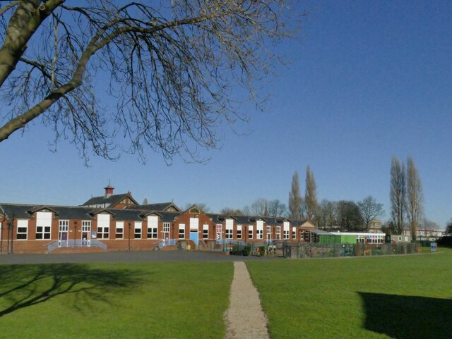
Image: © Stephen Craven Taken: 27 Feb 2022
This is the older building on the site, in an H shape on plan, which first appears on the OS map in 1938.
Images are licensed for reuse under creativecommons.org/licenses/by-sa/2.0
Image Location
Latitude
53.678434
Longitude
-1.510373