Clyde Gateway development land
Introduction
The photograph on this page of Clyde Gateway development land by Thomas Nugent as part of the Geograph project.
The Geograph project started in 2005 with the aim of publishing, organising and preserving representative images for every square kilometre of Great Britain, Ireland and the Isle of Man.

There are currently over 7.5m images from over 14,400 individuals and you can help contribute to the project by visiting https://www.geograph.org.uk
Clyde Gateway development land
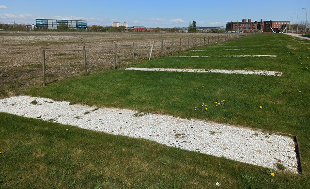
Image: © Thomas Nugent Taken: 22 Apr 2022
Brownfield site with Police Scotland on the left, Celtic park in the distance (right of the trees) and the former Strathclyde School on the right. Part of the Clyde Gateway regeneration programme https://investinclydegateway.com/ .
Images are licensed for reuse under creativecommons.org/licenses/by-sa/2.0
Image Location
Latitude
55.837265
Longitude
-4.225739