Path under the railway viaduct
Introduction
The photograph on this page of Path under the railway viaduct by Richard Sutcliffe as part of the Geograph project.
The Geograph project started in 2005 with the aim of publishing, organising and preserving representative images for every square kilometre of Great Britain, Ireland and the Isle of Man.

There are currently over 7.5m images from over 14,400 individuals and you can help contribute to the project by visiting https://www.geograph.org.uk
Path under the railway viaduct
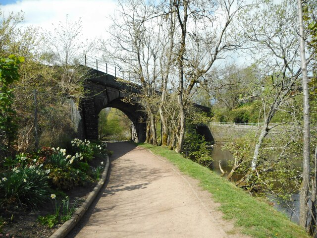
Image: © Richard Sutcliffe Taken: 29 Apr 2022
The viaduct over the Allan Water dates from 1846-8 and was built for the Scottish Central Railway. It is Category B listed http://portal.historicenvironment.scot/designation/LB26425.
Images are licensed for reuse under creativecommons.org/licenses/by-sa/2.0
Image Location
Latitude
56.190704
Longitude
-3.967827